What is the Sanriku Fukko (reconstruction) National Park

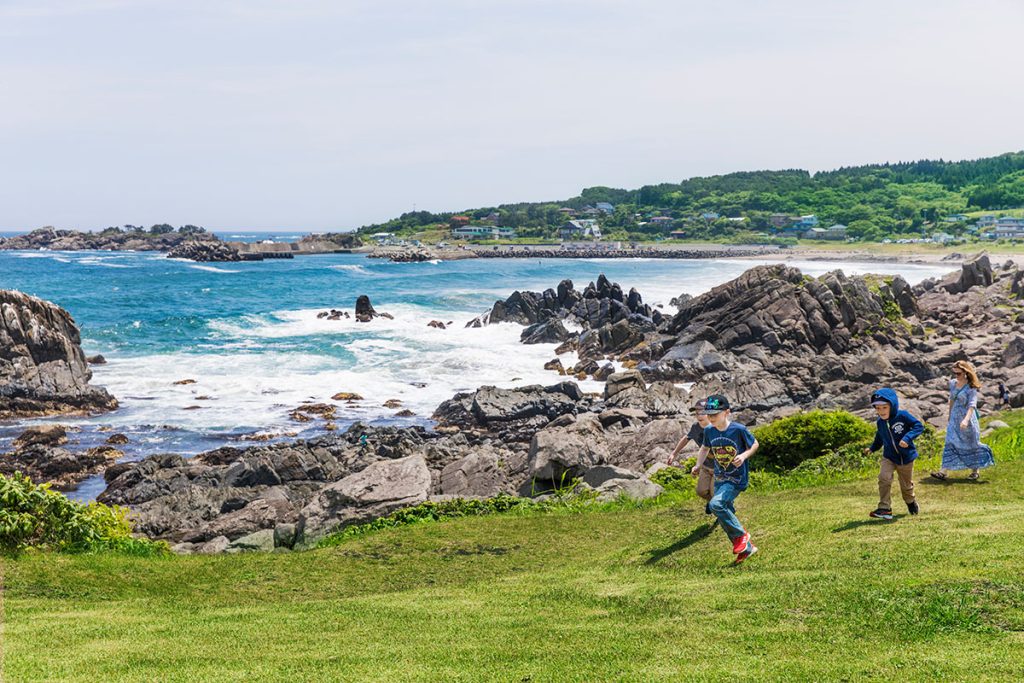
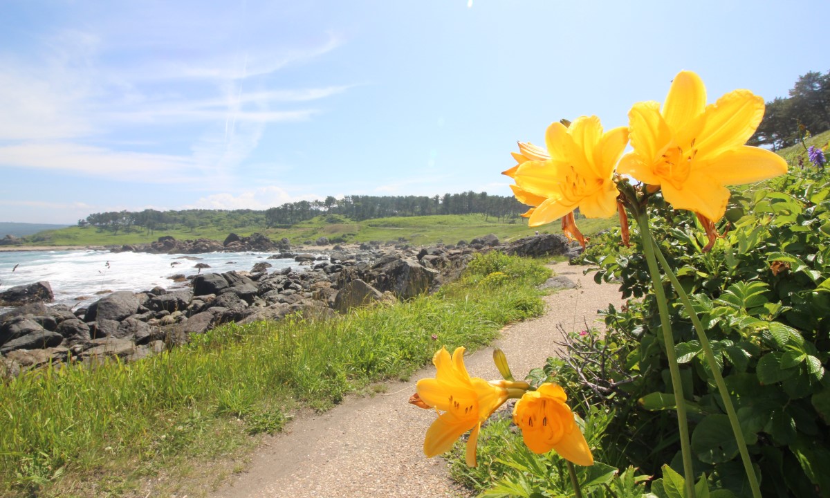
Sanriku Fukko (reconstruction) National Park was established to support the recovery of the Sanriku region, devastated by the Great East Japan Earthquake. Stretching approximately 250 km, from Aomori Prefecture in the north to Miyagi Prefecture in the south, the northern region features majestic cliffs, while the southern region offers a ria coastline characterized by its intricate topography. Tanesashi Coast Mt. Hashikami region is located on the northern end known for its diverse topography, from the rocky reefs, sandy beaches, and coastline with marine erosion. It offers a rich and diverse coastal scenery with a wide variety of coastal vegetation and blooming flowers, natural lawns, and black pine forests. The highlight of walking along the coast is that you can experience not only its nature but also the livelihood of the local people. At an altitude of approximately 740 meters, Mt. Hashikami is well known by the locals, and trekking can be enjoyed throughout the year. The area around the summit is home to a cluster of wild rhododendron azaleas and offers a panoramic view of Hachinohe City, the Hakkoda mountain range, and the Pacific Ocean.
The following are some of the best places to visit around the Tanesashi Coast Mt. Hashikami region of the Sanriku Fukko (reconstruction) National Park.


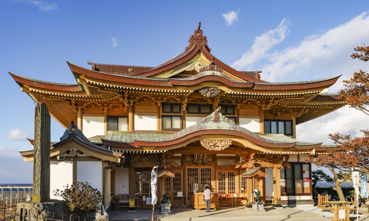
forest culture


How to enjoy the Tanesashi Coast Mt. Hashikami region of the Sanriku Fukko (reconstruction) National Park ① Walk
Kabushima Island is the start and end point of the “Michinoku Coastal Trail”, a long-distance nature trail that offers an easy walk along the coast with little difference in elevation. The “Michinoku Coastal Trail” is over 1,000 kilometers long and stretches from Aomori Prefecture to Fukushima Prefecture. You can of course complete the entire trail but you can just walk the section that you like. Depending on the pace of your walk, you can enjoy the changing scenery and interact with the locals. The following is an introduction to the Tanesashi Coast Mt. Hashikami region and how to enjoy it on foot.


How to walk the trail
Decide on which sections to walk, taking into account your fitness and experience levels, the distance to be walked, and the elevation difference. A trail map is useful in your decision-making.
A map of the trail route is available on the “Michinoku Trail Club” website. A more detailed “Michinoku Coastal Trail Hiking Map Book” can be purchased online or at the site.
With the map in hand, check in advance how to get to the starting point, the route distance, time required, and plan where to eat and when to rest. Remember to check the latest information regarding any hazardous areas.
What to pack will vary depending on your purpose, the section you are walking, and the season. The following is an example.
<Things to pack >
| ・Comfortable trekking shoes | ・Clothing to regulate body temperature |
| ・Rucksack | ・Hat (sunshade in summer, warmth in winter) |
| ・Rain gear | ・Portable first aid kit |
| ・Map | ・Energy food |
| ・Water bottle | ・Health insurance card |
| ・Torch | ・Gloves |
| ・Towel | ・Bear bells |
| ・Tissue paper |
How to enjoy the Tanesashi Coast Mt. Hashikami region of the Sanriku Fukko (reconstruction) National Park ② Other ways to have fun
Besides walking, you can also enjoy the unique natural environment of this region through various activities. Follow the rules and etiquette, and enjoy the Tanesashi Coast Mt. Hashikami region.
- ○Learn
- ○Activities
- ○ Guided tours
- ○Food
- ○Events
- ○Others
Access to “Tanesashi Natural Lawn”
- Approximately 36 minutes from JR “Hachinohe Station” to JR “Tanesashi Kaigan Station” on “JR Hachinohe Line”. Approximately 3-minute walk from “Tanesashi Kaigan Station”.
- Approximately 26 minutes from JR “Same Station” to “Tanesashi Coast Information Center” on “One Coin Bus Umineko-go”. A short walk from the “Tanesashi Coast Information Center”.
Access to “Mt. Hashikami”
- Approximately 8 minutes from JR “Hachinohe Station” to JR “Hon-Hachinohe Station” on “JR Hachinohe Line”. Approximately 55 minutes from JR “Hon-Hachinohe Station” to “Tozanguchi” (trailhead) on “Nanbu Bus”. Approximately 10-minute walk from “Tozanguchi” (trailhead) to the mountain trail.
[Related sites]
Information on Sanriku Fukko (reconstruction) National Park
▶︎Ministry of the Environment – Sanriku Fukko (reconstruction) National Park
Information on Tanesashi Coast and Mt. Hashikami
▶︎“Tanesashi Coast Information Center”
▶︎種差海岸インフォメーションセンター発行「TANECHAN」
※「TANECHAN」は当地域ならではの楽しみ方が凝縮された情報誌です!
Information on Michinoku Coastal Trail
▶︎みちのくトレイルクラブ
▶︎Michinoku Coastal Trail Natori Trail Center