What is a geopark?
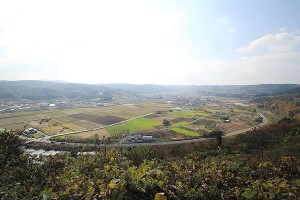
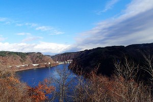
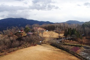
A geopark is an “Earth Park” which mainly highlights geology and terrain. At a geopark, you can learn about and experience the relationships between humanity and the beautiful, invaluable geology, terrain and ecosystems of the world. All over Japan, there are initiatives utilizing the Earth’s records of nature, culture and so on, for purposes such as education, tourism and disaster prevention.
Hachinohe is the northern gateway to the Sanriku Geopark. Extending 220 km from north to south, as far as Kesennuma in Miyagi prefecture, Sanriku Geopark is Japan’s largest geopark. This region, said to be home to the country’s oldest geological history, contains records of earthquakes and tsunamis since ancient times, including the 2011 Tohoku earthquake disaster. In Hachinohe, Kabu-shima Island, the Tanesashi Coast and the Korekawa Historic Site have been registered as geosites, which are areas of particular note within the geopark.
Sanriku Geopark: Geosites within Hachinohe City
1. Kabushima Island
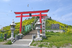
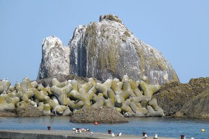
Formed by the activity of a vast undersea volcano about 100,003,000 years ago, Kabu Island is a breeding ground for black-tailed gulls. It is a rare location where the breeding and ecology of these birds can be viewed up close. Commemorative plaques have been installed here, indicating the heights of the massive tsunamis that struck in 1933 and 2011.
2. Tanesashi Coast
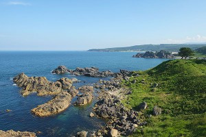
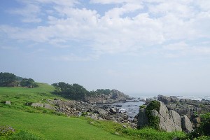
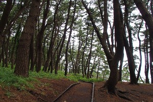
The Tanesashi Coast is a marine terrace that was created by the rising of the sea floor and fluctuations in the sea level. The area offers a variety of views including the expanse of natural grass on the hilltop, rock formations created by raging waves, sandy beaches and seaside pine forests.
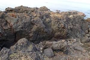
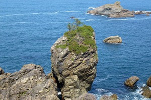
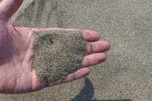
【Geopoints of Tanesashi-kaigan】
3. Korekawa Historic Site
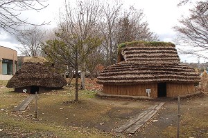
The Korekawa Historic Site tells of the Tohoku area’s wonderful Jomon culture. Many highly artistic artifacts have been found here, including items made with lacquering techniques.
4. Other geopoints in Hachinohe
Sanriku Geopark Homepage: http://sanriku-geo.com

